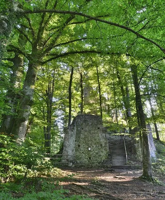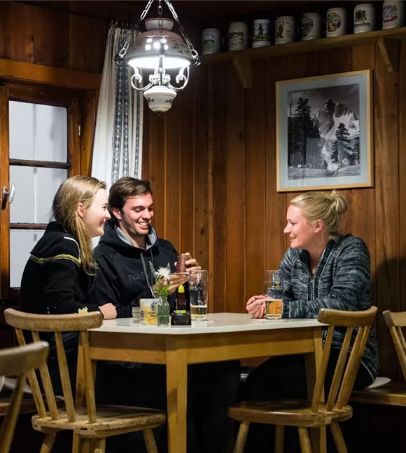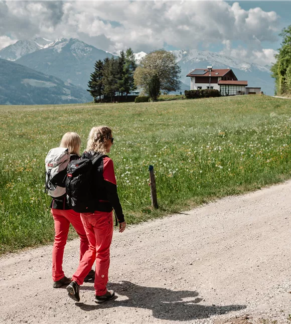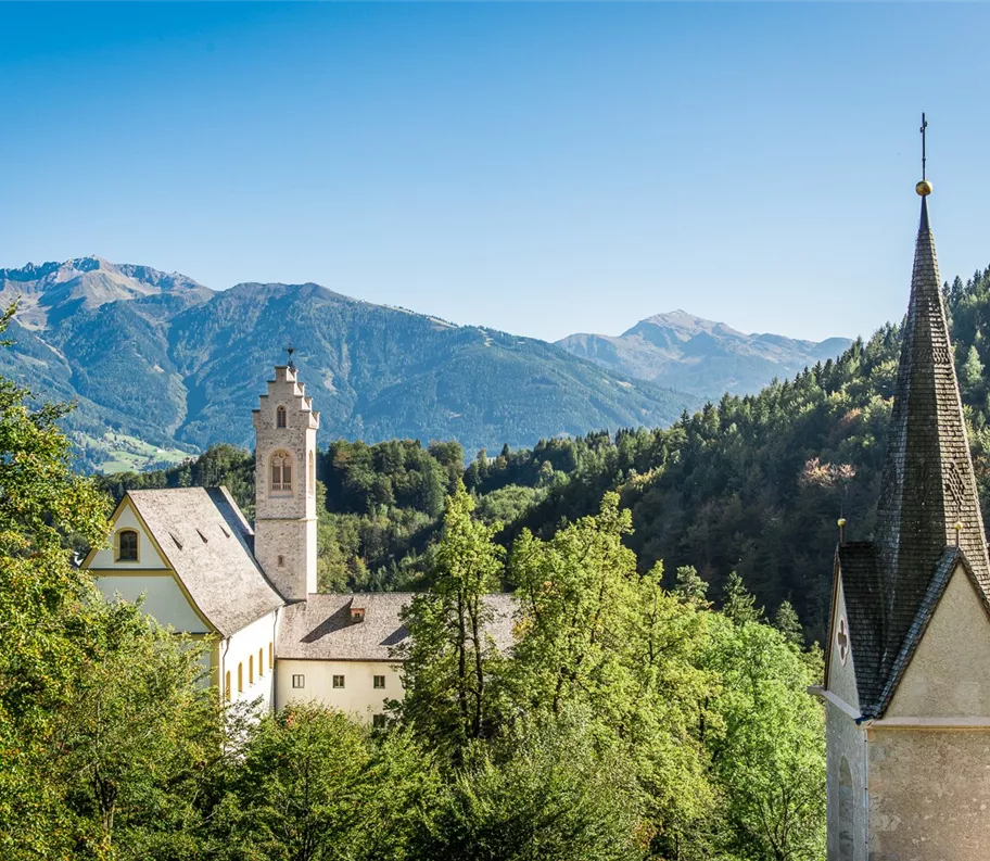
Poutní místo St. Georgenberg
+3

Marche nordique

chemin de pèlerinage

Parcours thématique

Randonnée et excursion en montagne

Randonnées en famille

Randonnées plaisir

Circuit de pèlerinage vers St. Georgenberg

Facile

7,30 km

525 m

03:30 h

Facile

Itinéraire

7,30 km

525 m

03:30 h

900 m

commencer

Parking de l'église Saint-Laurent, à Stans

Point d’arrivée

Lieu de pèlerinage de St. Georgenberg

Équipements à proximité

parkplatz-symbol-478x477.jpg

Parking de l'église Saint-Laurent

Stans

Parking

parkplatz-symbol-478x477.jpg

Parking du terrain de sport de Stans

Stans

Parking

parkplatz-symbol-478x477.jpg

Parking de Wolfsklamm à Stans

Stans

Parking

paid parking lot
Silberregion Karwendel

Pizzeria Da Capo

Stans

Pizzeria

Restaurant

+1

Silberregion Karwendel

Restaurant-café-auberge « Das Marschall »

Stans

Auberge/Restaurant

Plaisirs culinaires et salles traditionnelles

+1

Skalní klášter St. Georgenberg
+6

Monastère de pèlerinage de Saint-Georgenberg

Stans

Auberge/Restaurant

Églises et monastères

+2

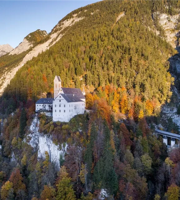
A historic Benedictine monastery perched on a rock above the Stallental valley, an important place of pilgrimage with over 1,000 years of history.

Plus de visites

WEhn_114226.jpg

Le sentier du maire, avec retour par le Hohe Kreuz

Of the high trails above the silver town of Schwaz, the Bürgermeistersteig is one of the most traditional. A wandering mayor of Schwaz had this trail built.

11,00 km

05:00 h

400 m

stallen-alm_1.jpg
+2

En compagnie des chamois et des cerfs élaphes

To the Stallenalm approx. 4 km, from there to the Naudersalm it is also approx. 4 km, but the steep path takes much more time (approx. 540 m altitude difference).

7,42 km

1931 m

982 m

135 m

Zastávka v horské restauraci Pirchnerast
+3

Randonnée du château de Freundsberg à l'auberge alpine Pirchnerast (IVV)

An easy hike with stunning views over the Inn Valley.

9,70 km

04:00 h

1240 m

571 m

Facile

Ruine Rottenburg 02.jpg

À la découverte du plus grand épicéa du Tyrol

From the parking lot to the Knippingpark it is about half a kilometre, from there to Notburga-Fichte about 1.5 km. From the spruce to the ruin you walk about 0.7 km, from there back to the parking lot about one kilometre. Total distance approx. 4 km.
87126352.jpg
+2

Étape 09 de l'Adlerweg : refuge du Lamsenjoch – refuge du Falken

This stage along the Adlerweg leads from the Lamsenjochhütte built in 1908 to the Falkenhütte at almost 2,000 metres. The tour crosses the "Grosse Ahornboden", a natural monument with more than 2,000 maples.

12,20 km

1952 m

778 m

Wandern in der Silberregion Karwendel.jpg

Motifs de l'enveloppement

A varied hike across the sunny plateau on the Umlberg.

7,40 km

02:40 h

835 m

295 m

290 m