Winter Hiking Trail Eng - Hinterriss
Winter walking

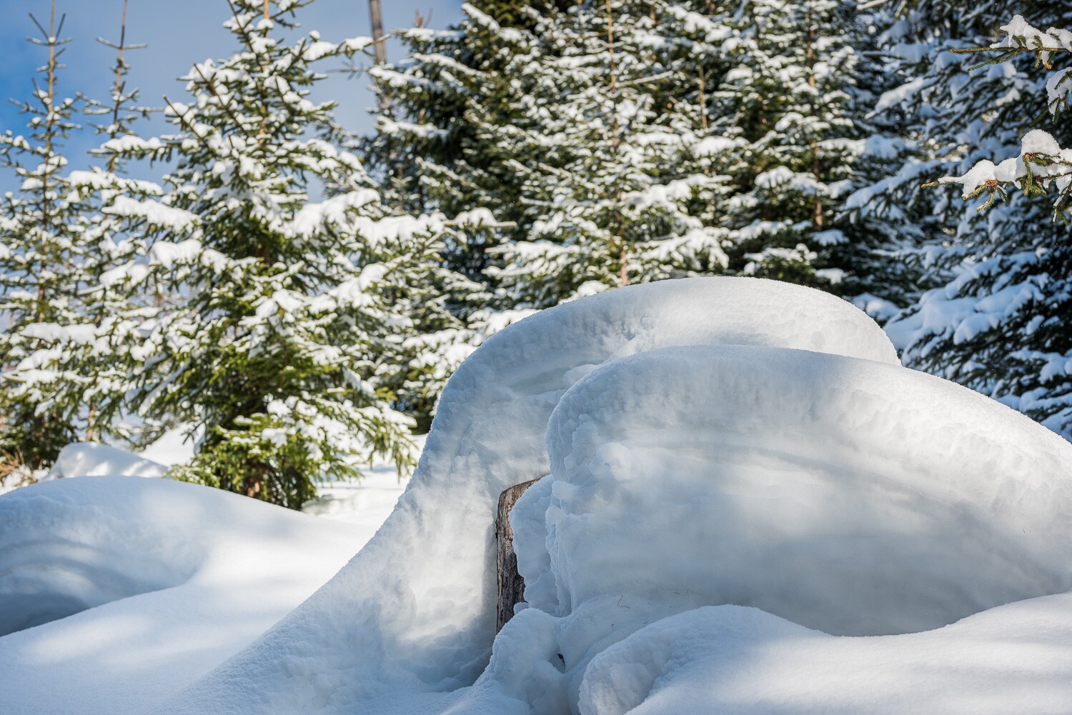
A breathtaking winter hike awaits you in the Risstal Valley – along quiet, snow-covered paths and mysterious mountain slopes.
On a prepared winter hiking trail with crunching snow underfoot and picture-perfect views, the route leads from the Hinterriss toll station to the Loachwald forest. As the Rißtal valley is closed to traffic in winter, this makes for an excellent winter sports route from Hinterriss to the rear part of the Risstal valley – the Eng (7.6 km) and back (15.2 km in total).At a Glance | |
|---|---|
| Elevation loss: | 125 m |
Information | |
|---|---|
| Starting point: | Parking lot Mautstelle Hinterriss |
| Finishing point: | Eng |
| Path surface: | Prepared winter hiking trail |
| Recommended equipment: |
|
Getting there | |
|---|---|
| Getting there: | By car:
|
| Parking: | Parking spaces at toll booth, cleared up to Hagelhütte |
Best season | |
|---|---|
| Jan: | Yes |
| Feb: | Yes |
| Dec: | Yes |
| City: | Hinterriss - Eng |
Recommendable for Winter Hiking Trail Eng - Hinterriss

Parking Lot Hinterriss
- Place: Hinteriss Read more
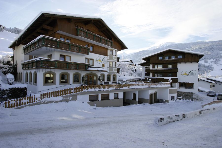
Accommodation in the region
Frieden
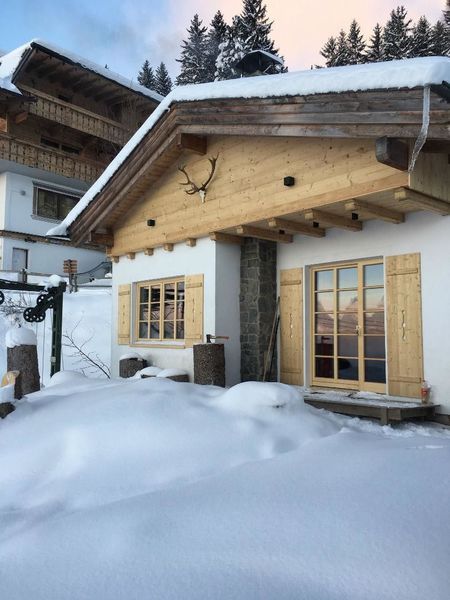
Alm - Das alpine Panorama-Chalet
- Place: Pill
Ferienwohnung
Come In
- Place: Buch in Tirol