Snowshoe hike at snowshoe paradise Hochpillberg
Snowshoe hiking
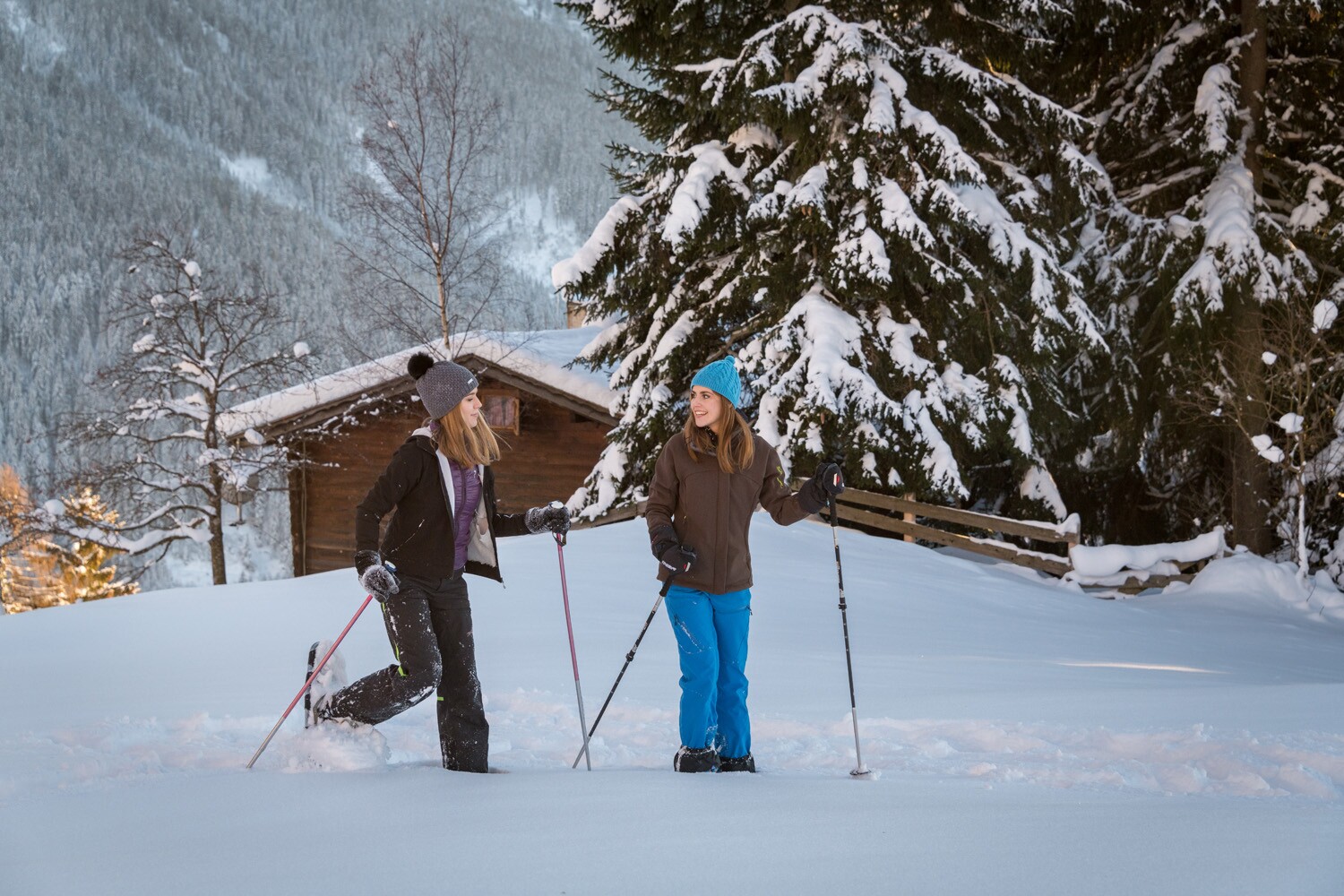


The circular hike leads through quiet forests and open terrain – with magnificent views of the Karwendel mountains and the Inn Valley.
From Hochpillberg, the tour leads along the ‘Path of the Senses’ through snow-covered forests and meadows to Naunz Niederleger and on to Alpengasthof Loas – an atmospheric winter experience.
At a Glance | |
|---|---|
| Difficulty level: | medium difficulty |
| Elevation loss: | 290 m |
Information | |
|---|---|
| Starting point: | Parking lot Hochpillberg junction Loas |
| Finishing point: | Parking lot Hochpillberg junction Loas |
| Path surface: | Prepared winter hiking trail, passing over to open terrain |
| Directions: | Route:
Loasweg. Please note: there is an increased risk of avalanches in the last section! Please obtain information before setting off. |
| Recommended equipment: |
|
| Tip from the author: | Snowshoe hikes in open terrain should always be undertaken by inexperienced individuals with a mountain guide or hiking guide. |
Route type | |
|---|---|
| Circular hike: | Yes |
| Family hike: | Yes |
Getting there | |
|---|---|
| Getting there: | |
| Public transport: | Train to Schwaz station - regional bus 8 to the bus stop parking lot at junction Loasweg. You can find the bus timetables at www.smartride.vvt.at |
| Parking: | Paid parking lot at the Loasweg junction |
Best season | |
|---|---|
| Jan: | Yes |
| Feb: | Yes |
| Dec: | Yes |
| City: | Hochpillberg |
Recommendable for Snowshoe hike at snowshoe paradise Hochpillberg

Parking Lot Hochpillberg
- Place: Pillberg Read more