Snowshoe hike to Hochalplkopf
Snowshoe hiking
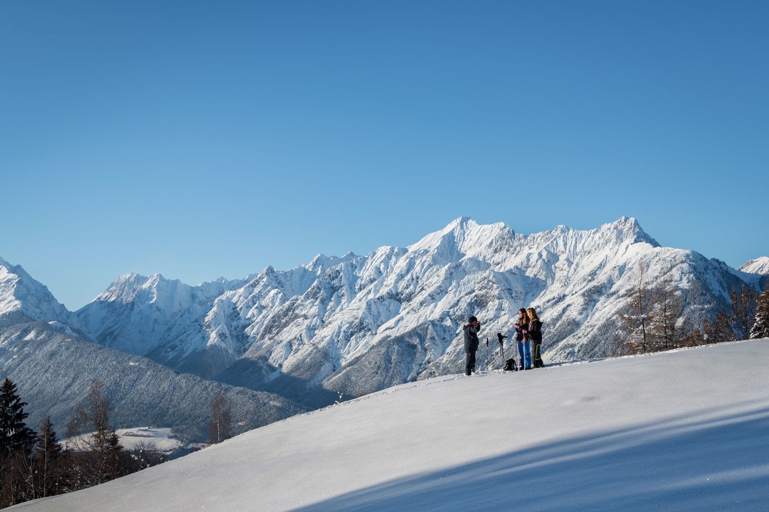
From Hinterriß through Rhontal to Hochalplkopf
From car park P1 you go directly west into the Rhontal valley to the Rhontalalm. From there follow the path northwest onto Hochalplkopf. The same route takes us back to Hinterriß.Please note the current avalanche warning level (https://lawinen.report/bulletin/latest) and always act on your own responsibility.
At a Glance | |
|---|---|
| Difficulty level: | medium difficulty |
| Elevation loss: | 780 m |
| Walking time / ascent: | 3.5 h |
Information | |
|---|---|
| Walking time / descent: | 2.5 h |
| Starting point: | Parkplatz P1 |
| Finishing point: | Parkplatz P1 |
| City: | Hinterriß/ Eng |