Snowshoe hike Rohntalboden
Snowshoe hiking

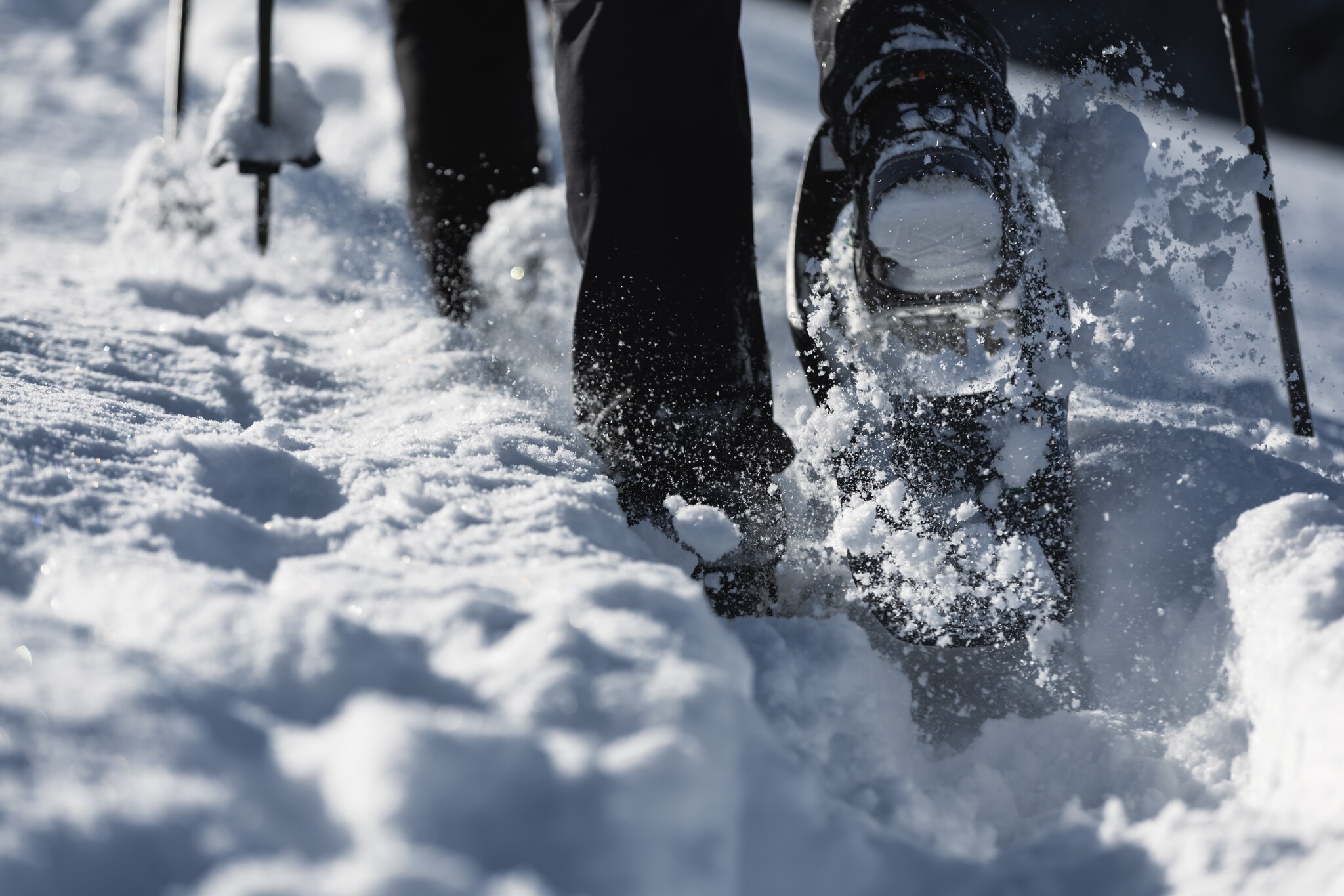
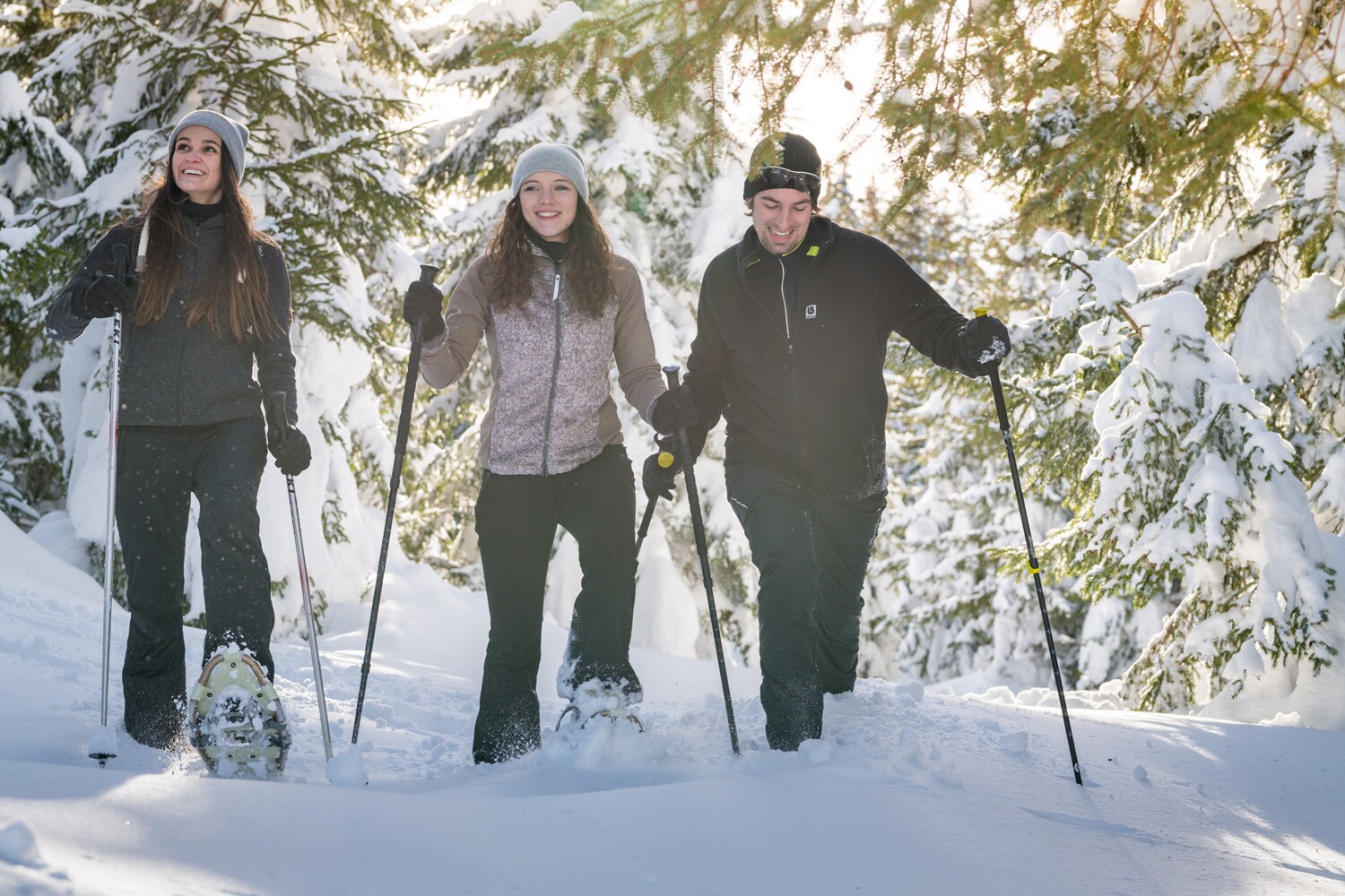
From Hinterriß into the Rohntal valley to the Rohntalalm.
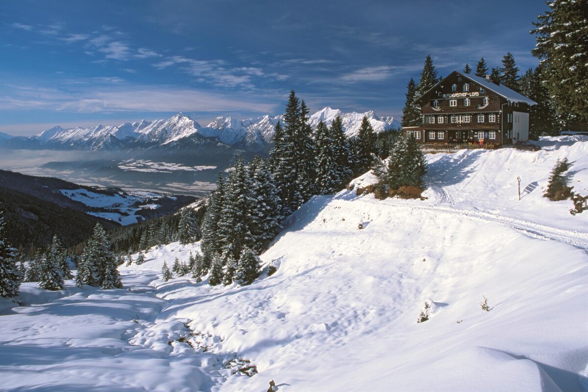
The snowshoe tour leads through the winter landscape along the Rhone Valley and impresses with the imposing mountain backdrop of the Karwendel.At a Glance | |
|---|---|
| Difficulty level: | medium difficulty |
| Elevation loss: | 310 m |
| Walking time / ascent: | 2 h |
Information | |
|---|---|
| Starting point: | Parkplatz P1 |
| Finishing point: | Parkplatz P1 |
| Directions: | Route:
|
| Recommended equipment: |
|
| Tip from the author: | Snowshoe hikes in open terrain should always be undertaken by inexperienced individuals with a mountain guide or hiking guide. |
Getting there | |
|---|---|
| Getting there: | Car: B307 (Vorderriß – Hinterriß) to car park P1 at the entrance to Hinterriß |
| Parking: | Paid parking lot P1 at Hinterriss |
Best season | |
|---|---|
| Jan: | Yes |
| Feb: | Yes |
| Dec: | Yes |
| City: | Hinterriß/ Eng |