Snowshoe hike around the Mehrerkopf
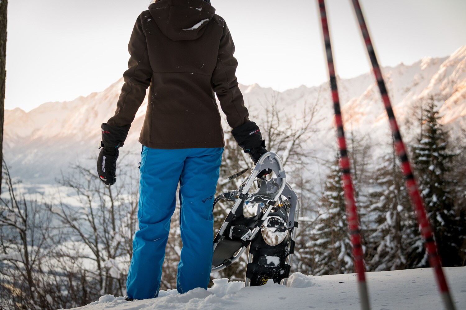
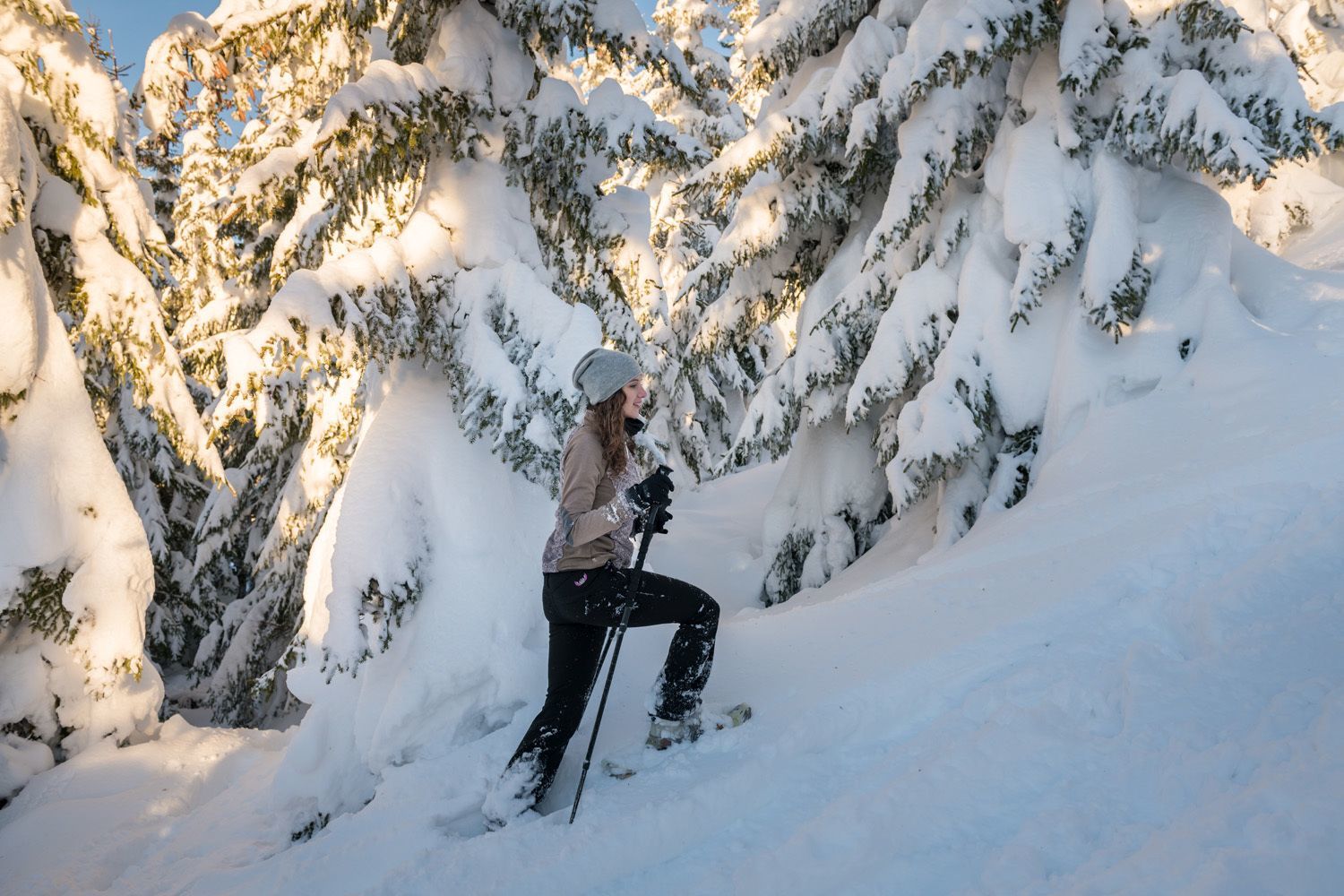
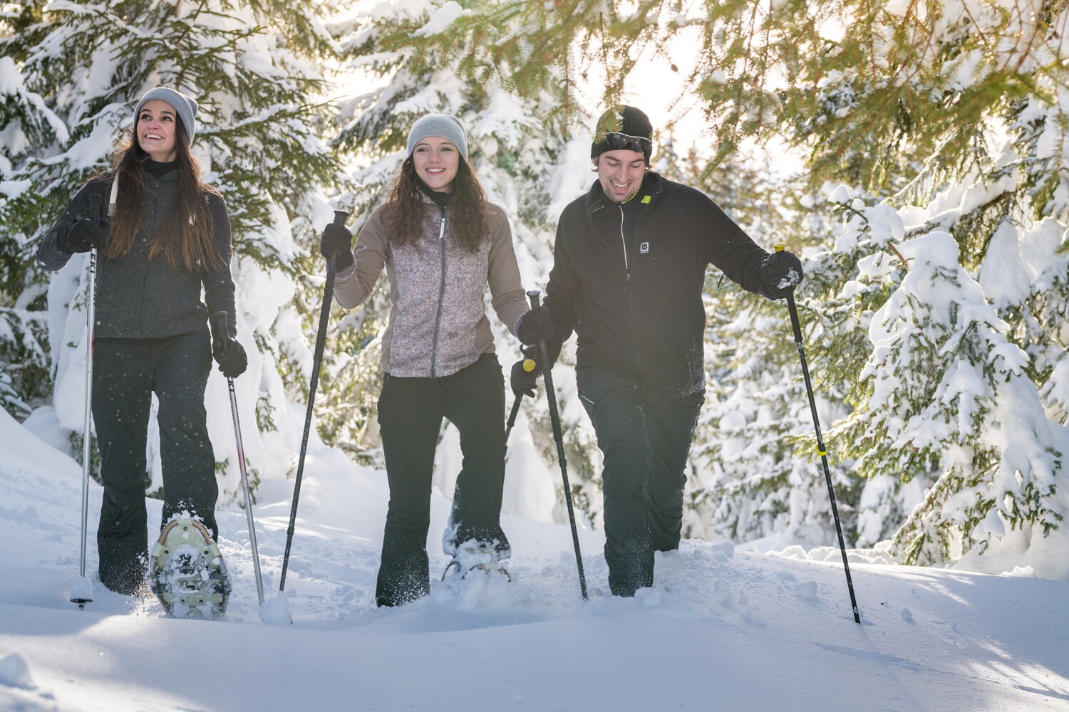
Snowshoe hiking
At a Glance | |
|---|---|
| Elevation loss: | 500 m |
Information | |
|---|---|
| Starting point: | Gasthof Pirchnerast |
| Finishing point: | Gasthof Pirchnerast |
| Recommended equipment: |
|
| Tip from the author: | Snowshoe hikes in open terrain should always be undertaken by inexperienced individuals with a mountain guide or hiking guide. |
Route type | |
|---|---|
| Circular hike: | Yes |
Getting there | |
|---|---|
| Getting there: | By car: Take the A12 Inntal motorway, exit Schwaz, road to Zintberg until Gasthof Pirchnerast |
| Parking: | Parking lot at Pirchnerast |
Best season | |
|---|---|
| Jan: | Yes |
| Feb: | Yes |
| Dec: | Yes |
| City: | Schwaz |
Recommendable for Snowshoe hike around the Mehrerkopf

Car park Pirchner Ast
- Place: Schwaz Read more
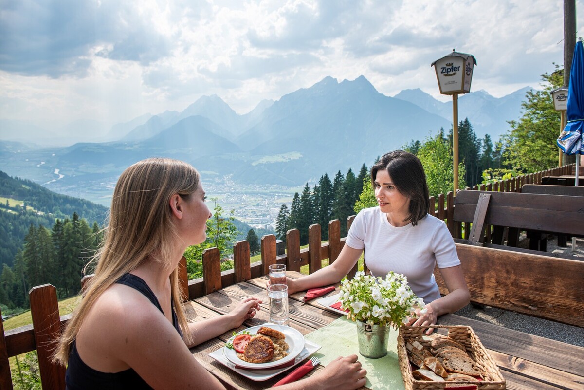
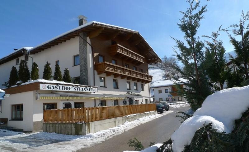
Pirchnerast Alpine Inn
- Place: Schwaz
An Alpine inn situated at 1,257 metres above sea level above Schwaz, offering a magnificent panoramic view over the Inn Valley. A starting point for hikes and mountain bike rides in summer and tobogganing in winter.
Read more