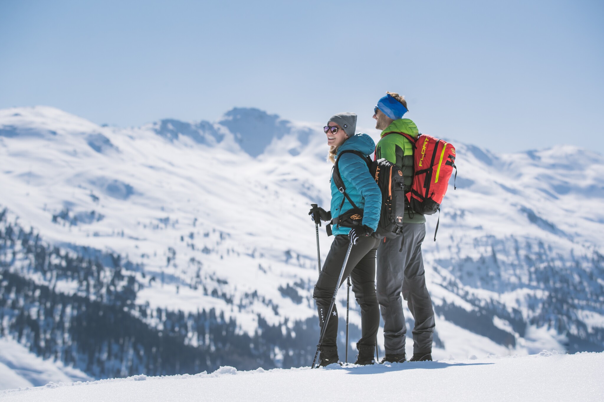
Snowshoe hike to Hochalplkopf
Snowshoe hiking
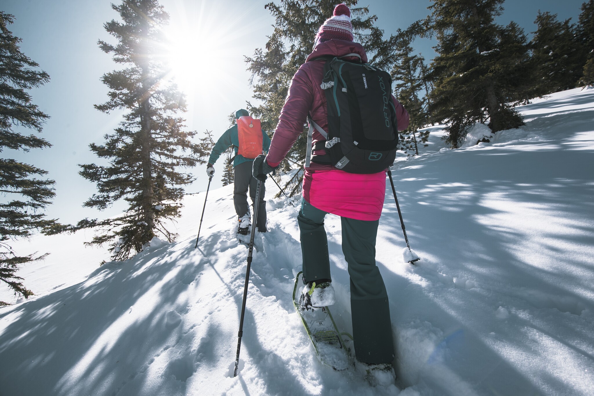
From Hinterriß through the Rhon Valley to the Hochalpkopf.
It goes through the quiet Rhon Valley up to the Hochalpkopf – a snowshoe hike that leads into the untouched winter world of the Karwendel.
At a Glance | |
|---|---|
| Difficulty level: | medium difficulty |
| Elevation loss: | 780 m |
| Walking time / ascent: | 3.5 h |
Information | |
|---|---|
| Starting point: | Parkplatz P1 |
| Finishing point: | Parkplatz P1 |
| Directions: | Route:
|
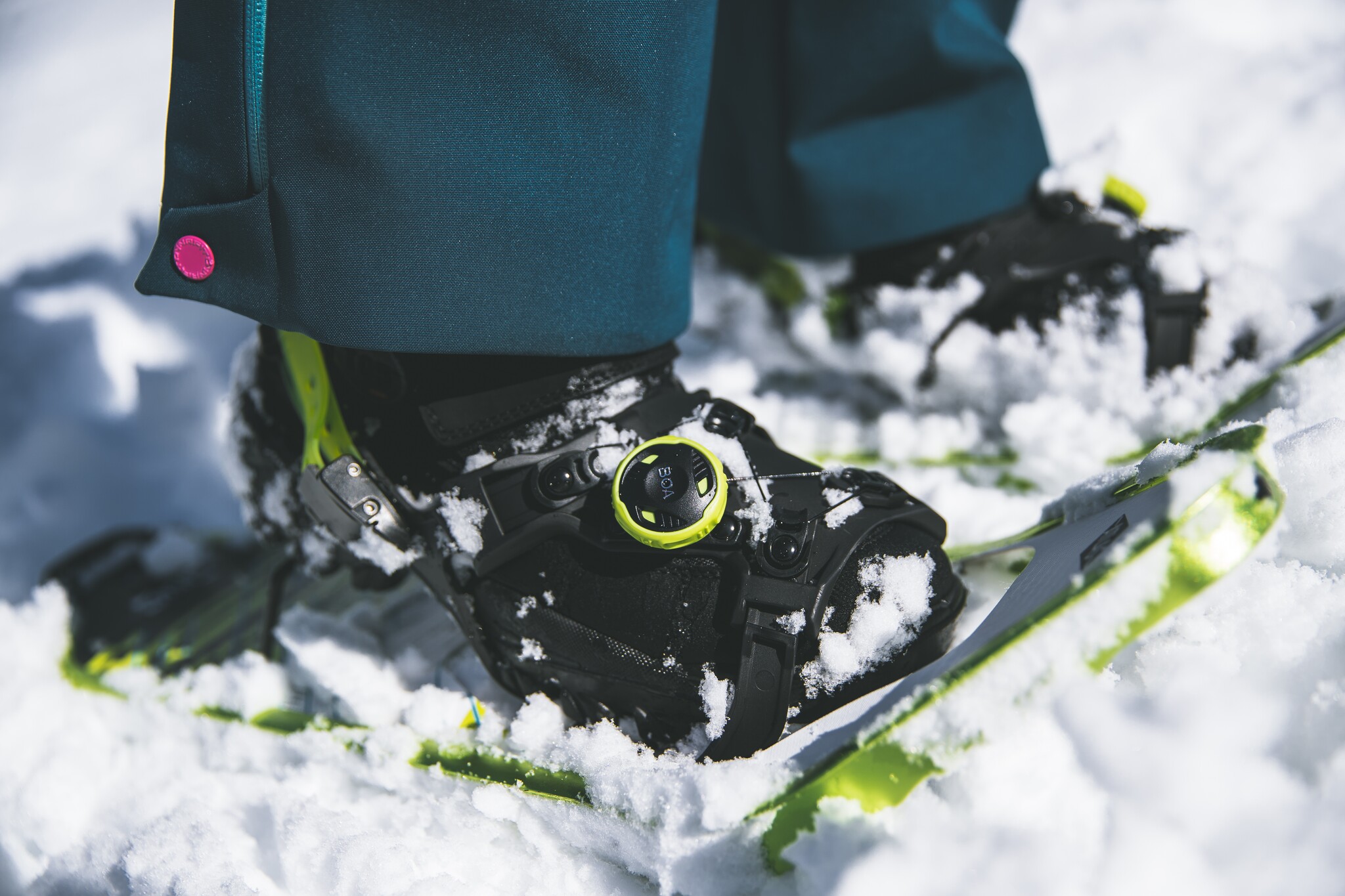
| Recommended equipment: |
|
| Tip from the author: | Snowshoe hikes in open terrain should always be undertaken by inexperienced individuals with a mountain guide or hiking guide. |
Getting there | |
|---|---|
| Getting there: | By car:
|
| Parking: | Paid parking lot P1 |
Best season | |
|---|---|
| Jan: | Yes |
| Feb: | Yes |
| Dec: | Yes |
| City: | Hinterriß/ Eng |

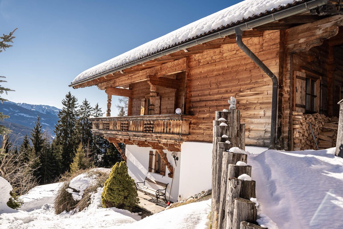
Accommodation in the region
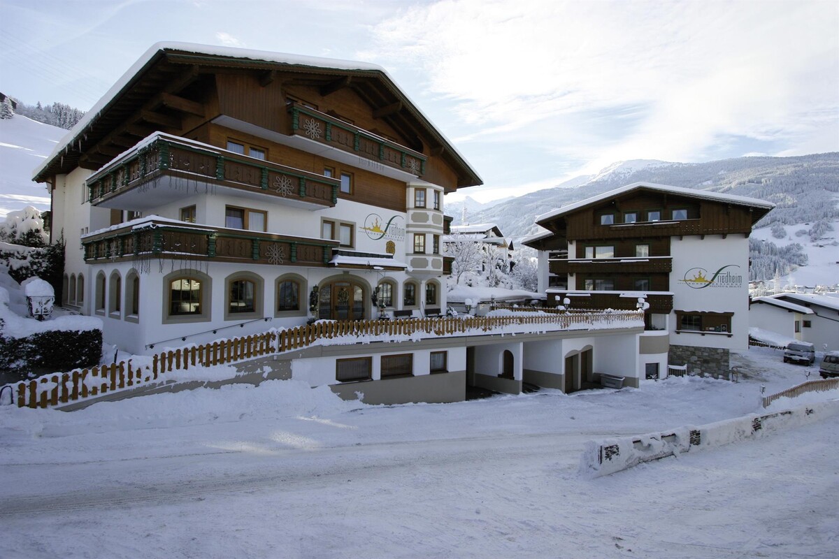
Haus
Gilfert am Pillberg
- Place: Pillberg