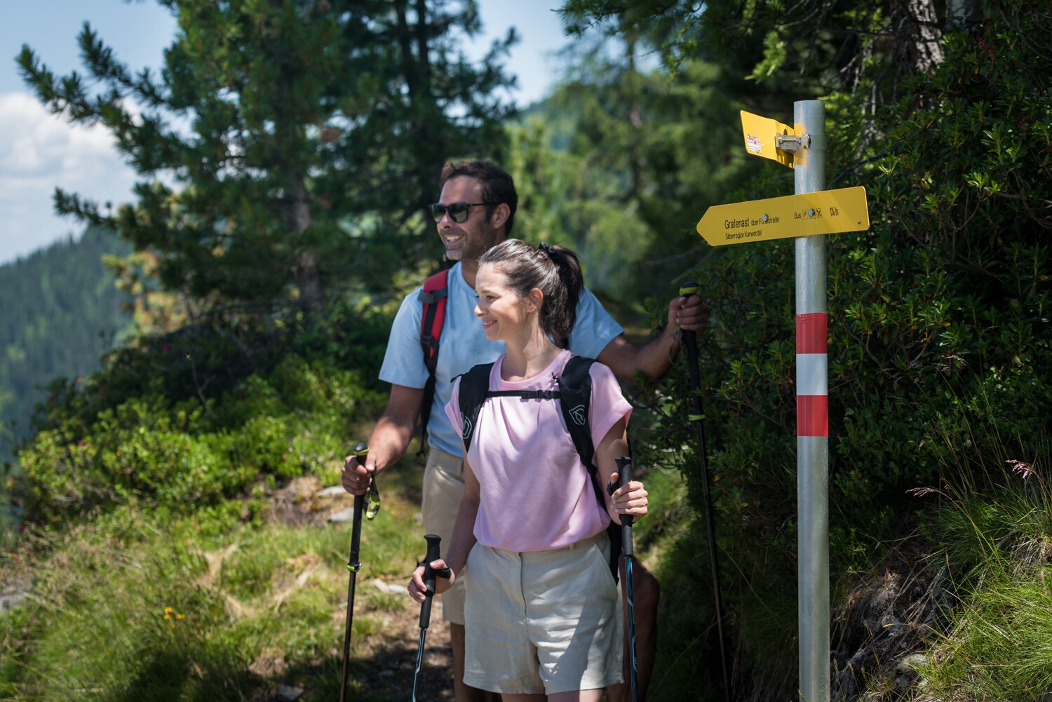
From Grafenast via the reservoir to the Hecherhaus
Hut & alpine pasture hiking
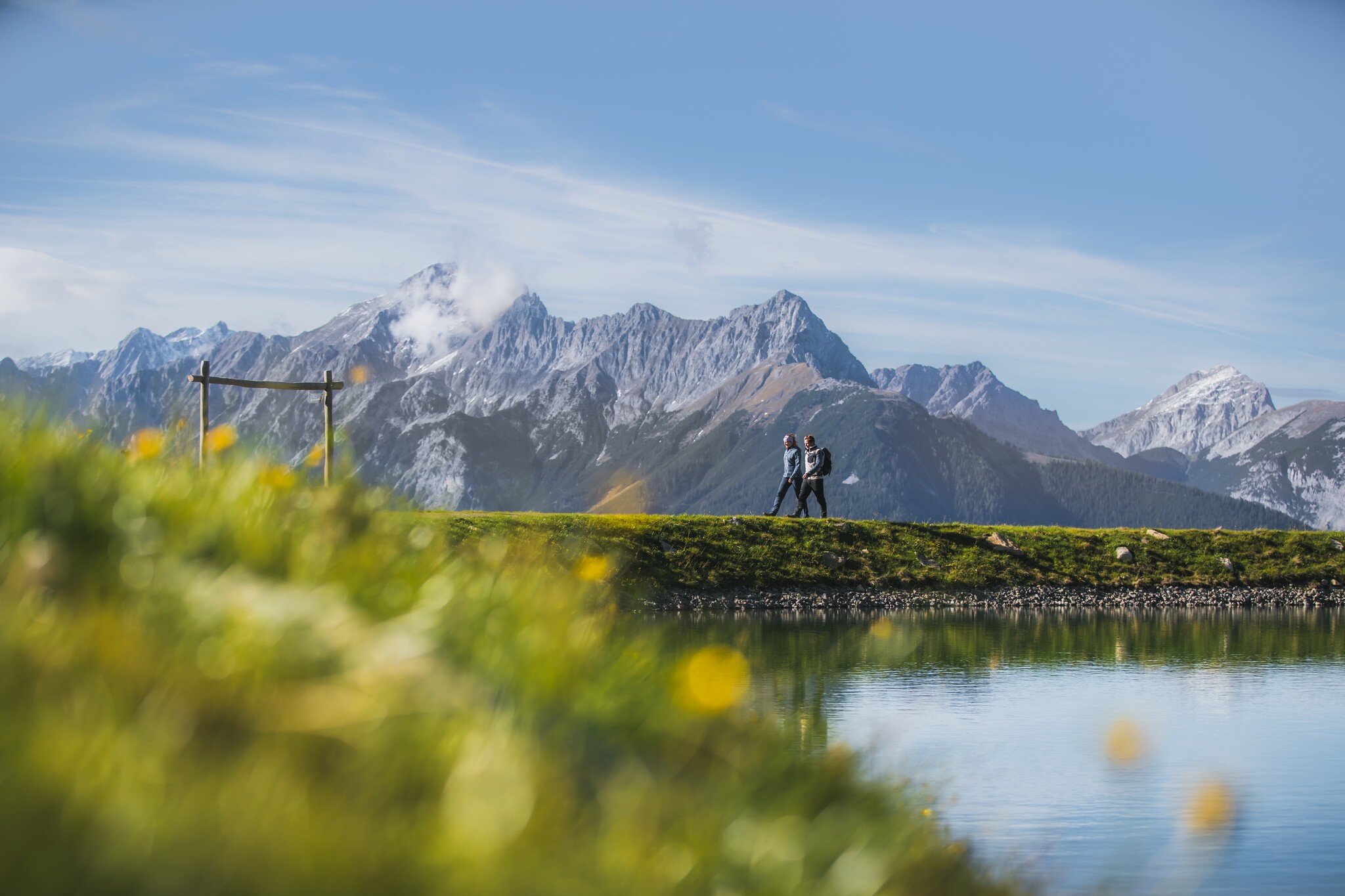
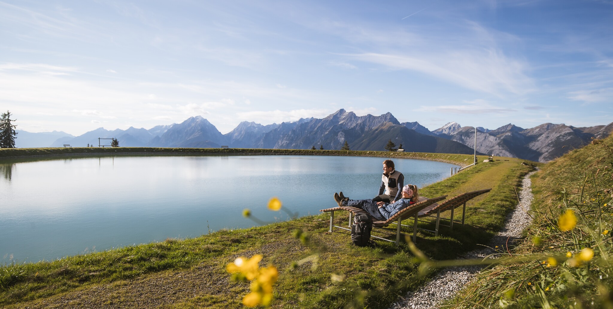
Hike across the reservoir with beautiful views of the Karwendel mountains and a leisurely stop at the Hecherhaus.
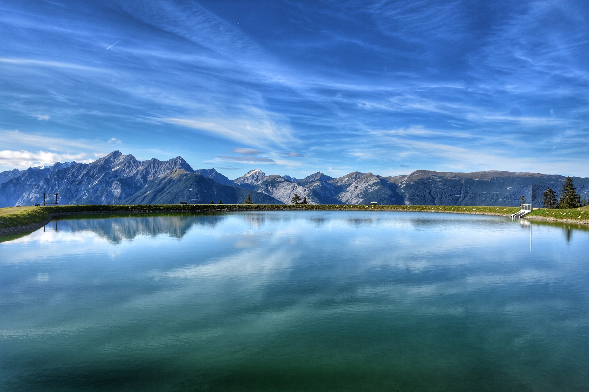
A scenic hike takes you past the reservoir, whose waters reflect the sky and mountain peaks. With unobstructed views of the imposing Karwendel mountains, you can enjoy the vastness of the mountain world step by step before stopping for a cosy break at the Hecherhaus, where a warm atmosphere and hearty delicacies await you.There is also the option of taking the Kellerjochbahn cable car to the Hecherhaus.
At a Glance | |
|---|---|
| Difficulty level: | medium difficulty |
| Elevation loss: | 515 m |
Information | |
|---|---|
| Starting point: | car park Kellerjochbahn |
| Finishing point: | Hecherhaus |
| Path surface: | Forest path, trail |
| Directions: | Route:
|
| Recommended equipment: |
|
| Cable car: | Yes |
Route type | |
|---|---|
| Circular hike: | Yes |
Fitness & technique | |
|---|---|
| Fitness: | 2 |
| Technical: | 2 |
Getting there | |
|---|---|
| Getting there: | |
| Public transport: | Train to Schwaz station - regional bus 8 to the bus stop Hotel Frieden You can find the bus timetables at www.smartride.vvt.at |
| Parking: | Car park Kellerjochbahn |
Best season | |
|---|---|
| Apr: | Yes |
| May: | Yes |
| Jun: | Yes |
| Jul: | Yes |
| Aug: | Yes |
| Sep: | Yes |
| Oct: | Yes |
| City: | Pillberg |
Recommendable for From Grafenast via the reservoir to the Hecherhaus

Pillberg Hotel Frieden
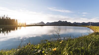
Webcam Kellerjoch reservoir

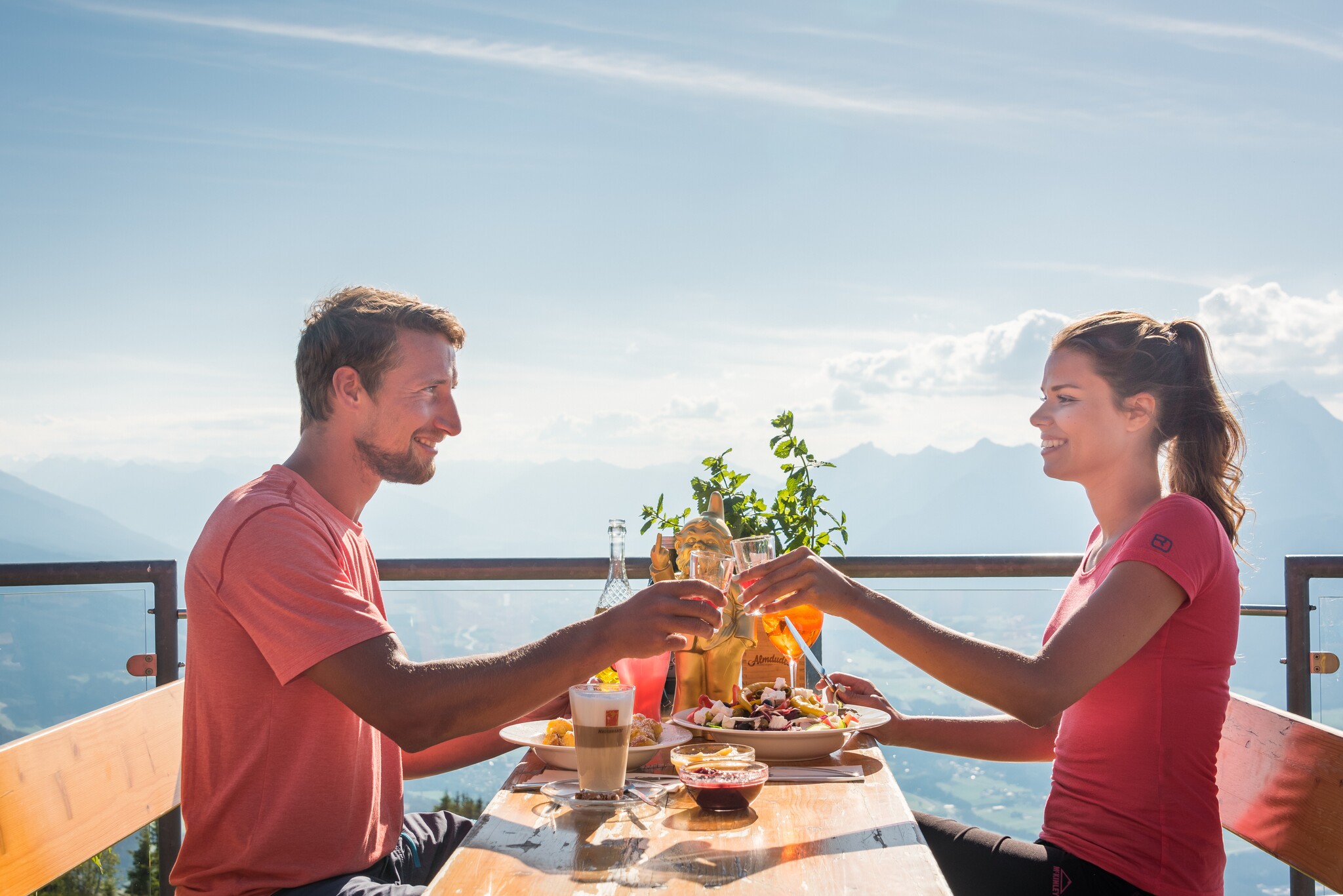
Mountain restaurant Hecherhaus
- Place: Schwaz
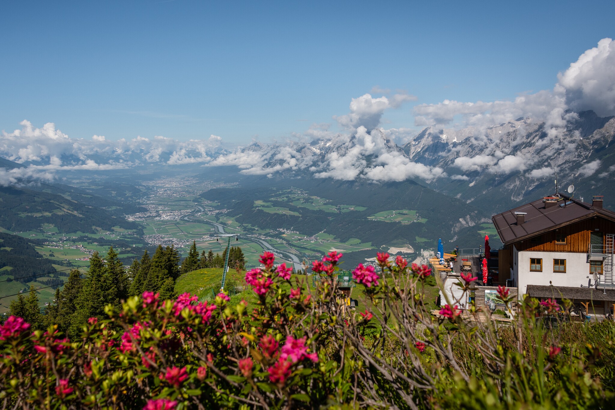
The Hecher house in theThe Hecherhaus, with its large sun terrace, is situated right next to the top station of the Kellerjochbahn and offers a stunning view over the Inn Valley and the Karwendel Mountains opposite.
Read more
Kellerjochbahn Lift
- Place: Pill
In summer, the Kellerjochbahn Lift whisks you up to almost 2,000 metres above sea level.
Read more
Parking lot Kellerjochbahn
- Place: Pillberg Read more
Accommodation in the region
Ferienwohnung
am Waldweg
- Place: Kolsass
Gästehaus
Hechenblaikner
- Place: Buch in Tirol