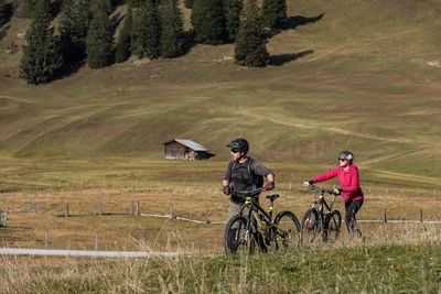
418 - Circular Route Hochgallzein
Mountainbike tour


A typical, medium-difficulty circular route through idyllic villages and the primeval Gallzein low mountain range landscape.
If you arrive by car, you can also take the route in St. Margarethen. From Maurach the asphalted road leads through a forest to the district of Troi. After Obertroi you reach Hochgallzein after another piece of forest. Now you have reached the highest point of the route and drive downhill towards Hof. The asphalt path leads through the idyllic village of Buch in Tyrol back to the starting point.
Special feature: After leaving the forest to Troi, the view of the Karwendel mountains opens up. The view of the St. Georgenberg rock monastery is particularly beautiful.
Connections: 414, 416
At a Glance | |
|---|---|
| Difficulty level: | Medium difficulty / red |
Information | |
|---|---|
| Starting point: | Maurach |
| Finishing point: | Maurach |
| Loop tour: | Yes |
| Number: | 418 |
| City: | Maurach bei Buch |
Recommendable for 418 - Circular Route Hochgallzein
414 - Gallzein – Buch – Strass
- Place: Fügen
Medium difficulty, very beautiful circuit through the Zillertal and the Inn Valley.
Read more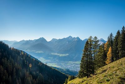
416 - Zintberg – Proxenalm – Gallzein
- Place: Schwaz
A medium difficulty forest route that lets you explore the historic slopes around the Silver City.
Read moreAccommodation in the region
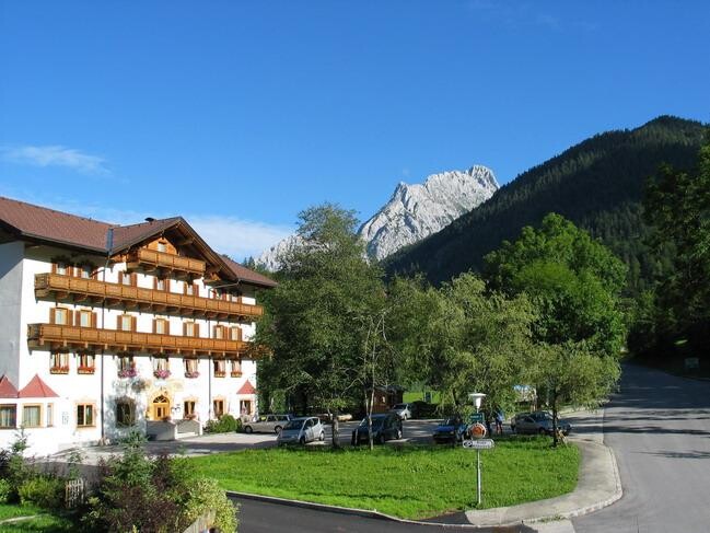
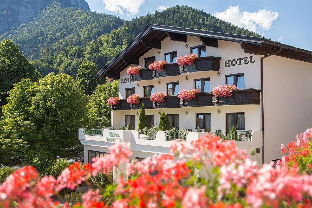
Hotel
Jenbacher Hof
- Place: Jenbach