Walk from Innerst to the Weidener Hut
Permanenter Weg des Österreichischen Volkssportverein
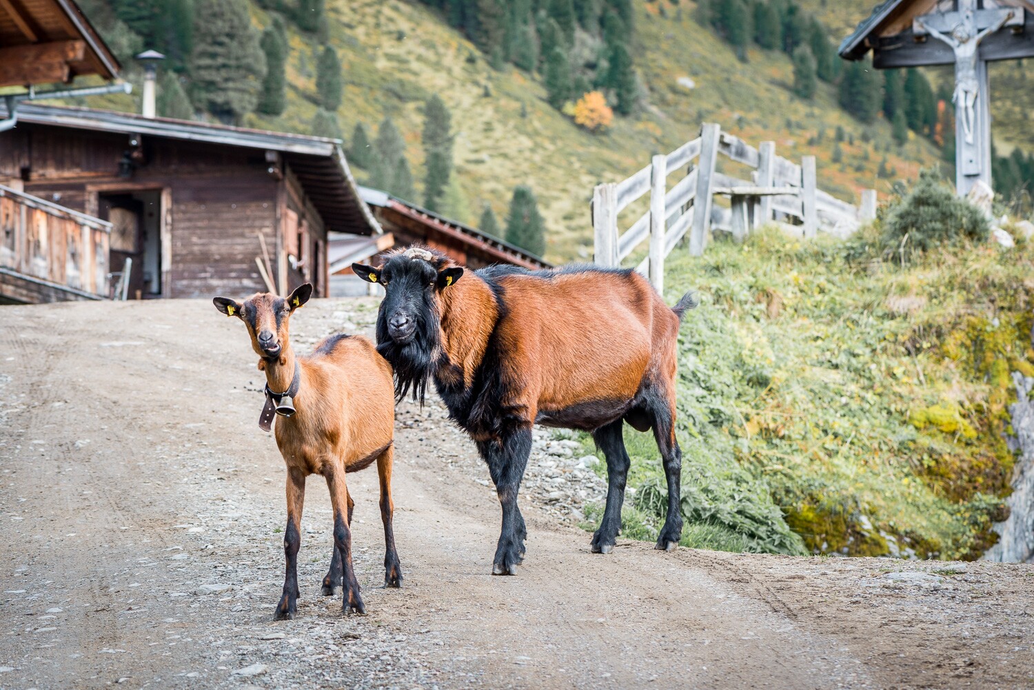
Passing several alpine pastures and mountain pasture settlements. In the alpine pasture area there are many Swiss stone pines.
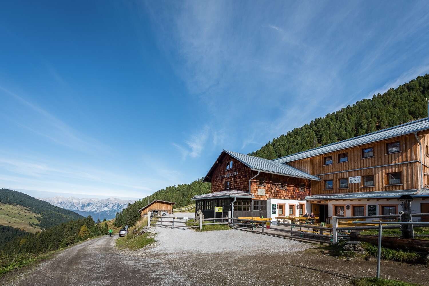
Starting point is the parking lot in Innerst. From there follow the signs "Weidener Hütte" in the direction of Nurpensbach over the Pfund bridge to Nafingweg. Cross the forest path according to the signposted abbreviation (path no. 315) until it ends again on the forest path. Follow the forest road. We pass the Spuringalpl, where a small rest on a sunny bench is possible. From there it takes about 45 minutes to Weidener Hütte. There is a very good place to stop for Tyrolean specialities.
Strengthened it goes back approx. 500 m until the turn-off Bettlerweg/Nurpens is reached on the right. After about 15 minutes walking time through woods and meadows you pass the Fiderissalpe.
In Almdorf keep right along the signs Bettlerweg/Nurpens to Kirchenwirtsalpl (the signs point the way). From Kirchenwirtsalpl you walk along the forest path in the direction of the valley. After approx. 500 m the turn-off leads right over the meadow and further along the Bettlersteig again into the forest to a clearing. Enjoy the fantastic panoramic view to the beautiful Karwendel Mountains! From there it is about 30 minutes to the Unternurpensalm. From there it goes along the Almweg over the Stallenalm back to the starting point Innerst. From there it is about 30 minutes to the Unternurpensalm.
At a Glance | |
|---|---|
| Difficulty level: | medium difficulty |
| Elevation loss: | 560 m |
| Walking time / ascent: | 2.5 h |
Information | |
|---|---|
| Walking time / descent: | 1.83 h |
| Starting point: | Jausenstation Innerst |
| Finishing point: | Weidener Hütte |
| Path surface: | Anfangs Forstweg bis Weidener Hütte, dann Wandersteig bis unter Nurpensalm, Schlussstück wieder Forstweg |
| Recommended equipment: |
|
| Video link 1: | www.weidener-huette.at |
Fitness & technique | |
|---|---|
| Fitness: | 2 |
| Technical: | 3 |
Getting there | |
|---|---|
| Getting there: | By car: A12 Inntal motorway, exit at Schwaz or Vomp, then take the main road towards Weerberg until you reach the Innerst car park |
| Parking: | Car park Innerst |
Best season | |
|---|---|
| Apr: | Yes |
| May: | Yes |
| Jun: | Yes |
| Jul: | Yes |
| Aug: | Yes |
| Sep: | Yes |
| Oct: | Yes |
| City: | Weerberg |
Recommendable for Walk from Innerst to the Weidener Hut
From the Weidener Hut to Lake Nafing
- Place: Weerberg
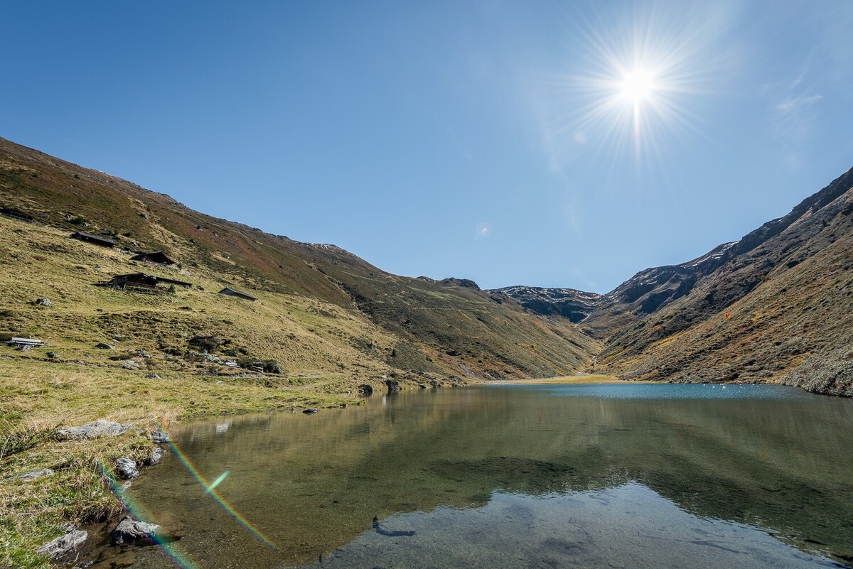
Nestled amongst the peaks of the Tux Alps lies Lake Nafing.
Read more
Snack Station Innerst
- Place: Weerberg
Whether after a hike in summer or a ski run in winter, the Innerst snack bar is a cosy place to stop for a bite to eat and relax.
Read more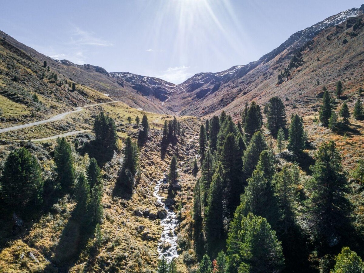
Weidener Hütte
- Place: Weerberg
Depending on the season, the Weidener Hut in the Tux Alps is a popular base for hikers, mountaineers and mountain bikers, or for ski tourers, snowshoe walkers and tobogganists.
Read more
Parking Lot Innerst
- Place: Weerberg Read more
Accommodation in the region
City
Apartments Schwaz/CV
- Place: Schwaz