Walk from the Engalm to the Binsalm
...


An easy, short walk leads from the Eng to the Binsalm.
From Eng, there are three paths leading directly to the Binsalm. Once you reach the top, you can enjoy some hearty home-style cooking on the sunny viewing terrace.At a Glance | |
|---|---|
| Elevation loss: | 283 m |
| Walking time / ascent: | 1.25 h |
Information | |
|---|---|
| Walking time / descent: | 1 h |
| Starting point: | Car Park P10 Hinterriß-Eng |
| Finishing point: | Binsalm |
| Directions: | Route description: Forest track option:
|
| Recommended equipment: |
|
Route type | |
|---|---|
| Family hike: | Yes |
Fitness & technique | |
|---|---|
| Technical: | 2 |
Getting there | |
|---|---|
| Getting there: | By car: • Take the A12 motorway exit for Achensee, then follow the Achensee B181 road to the Achen Pass border • Cross the border into Bavaria (307) towards Sylvensteinsee, then turn left towards Vorderriss • Turn left towards Hinterriss, follow the toll road to car park P10 |
Best season | |
|---|---|
| May: | Yes |
| Jun: | Yes |
| Jul: | Yes |
| Aug: | Yes |
| Sep: | Yes |
| Oct: | Yes |
| City: | Hinterriss |
Recommendable for Walk from the Engalm to the Binsalm

Rasthütte Eng Alm
- Place: Hinterriß
The restaurant is open from the beginning of May to the end of October and offers its guests warm meals and specialities from Tyrol all day long in a cosy restaurant, in the self-service area or on the large sun terrace.
Read more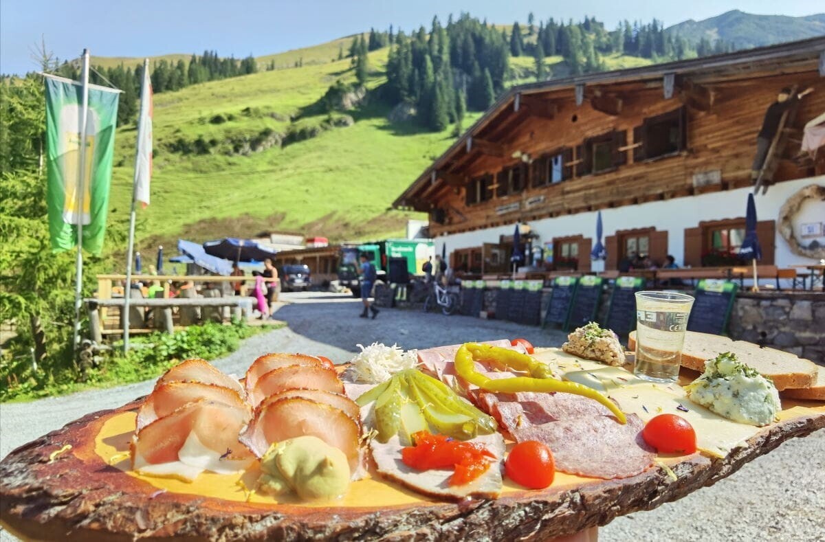
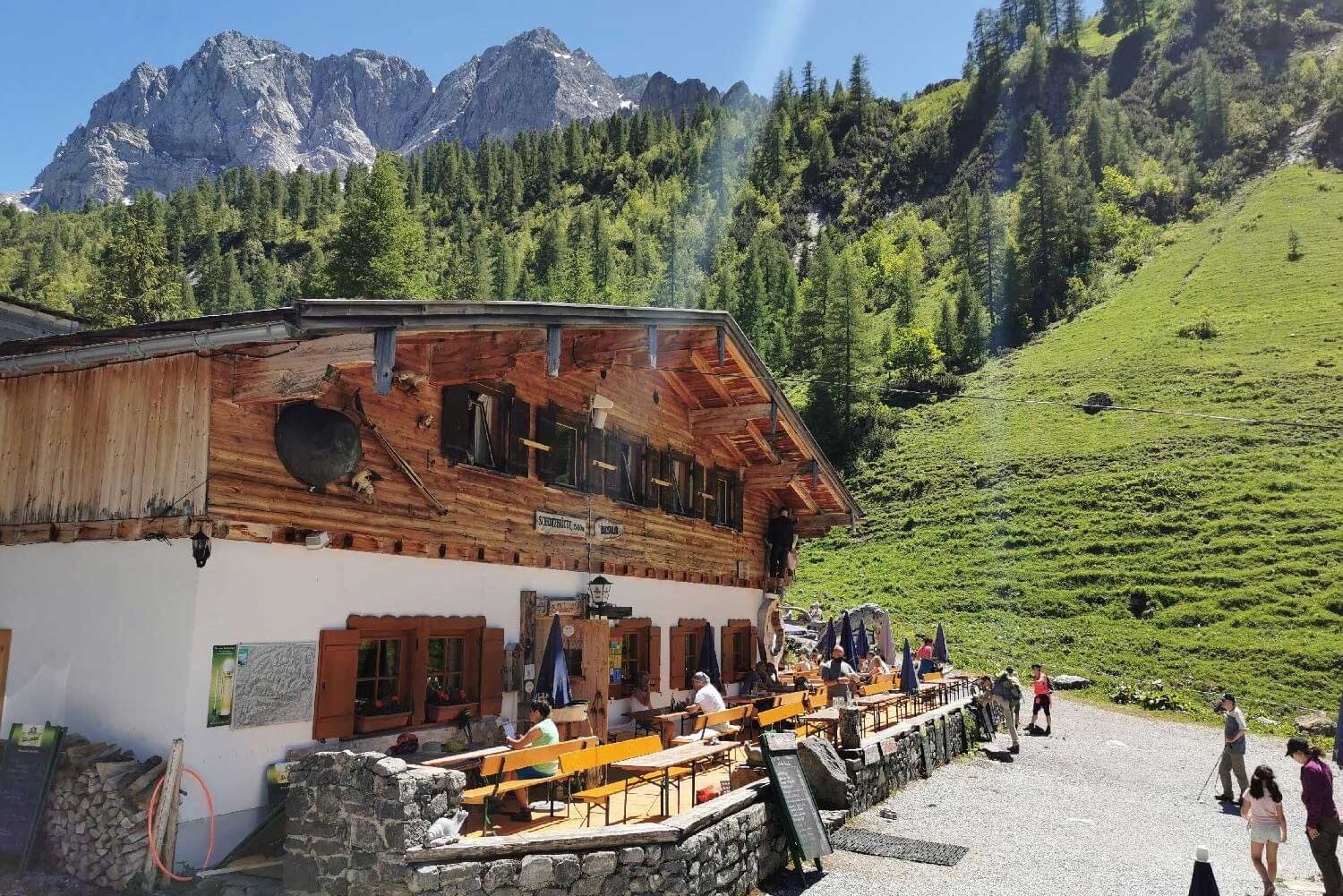
Binsalm
- Place: Hinterriss
A family-friendly mountain hut above the Großer Ahornboden – accessible via a lovely walking trail (approx. 40 minutes) with views of the Großer Ahornboden.
Read more
Großer Ahornboden
- Place: Eng
The "Große Ahornboden" (Great Maple Ground) was voted the most beautiful place in Tyrol. On 240 hectares there are 2,300 maple trees, the oldest of which already count around 700 annual rings. The sycamore maple is dominant in the Karwendel Mountains, it loves the gravelly soil.
Read more
Parking Lot P10
- Place: Hinterriss-Eng Read more

Spielschatz Eng Alm
- Place: Hinterriss
The alpine playground at the Ahornboden
Read moreAccommodation in the region
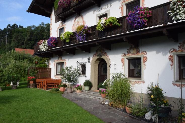
Ferienwohnung
Haus Dudler
- Place: Vomp
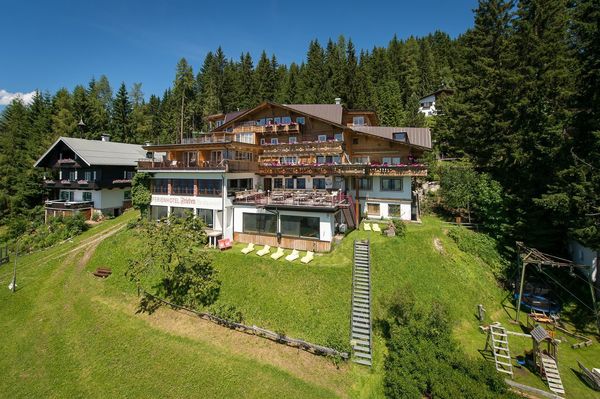
Schiestlhof
- Place: Weerberg
