Walk from Freundsberg Castle to Grafenast
...
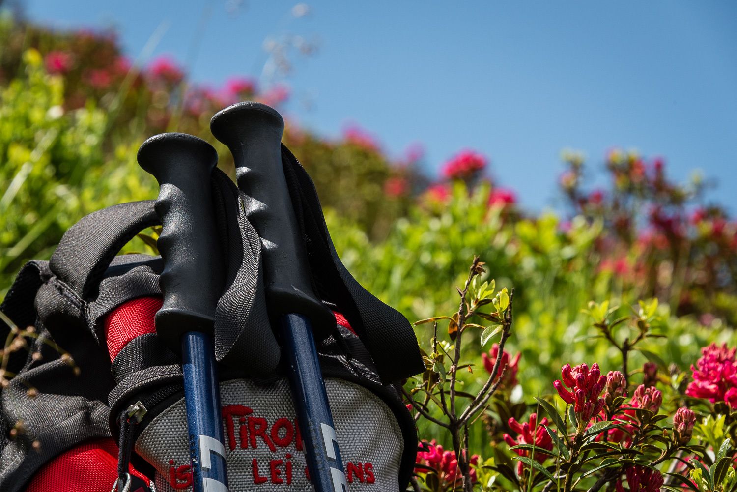
A leisurely walk from Schwaz to the valley station of the Kellerjochbahn.
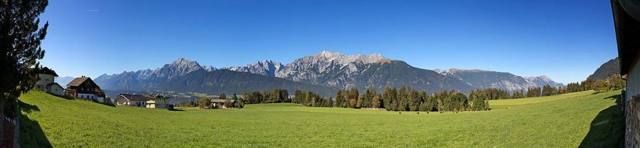
The route leads from Freundsberg Castle up to Grafenast, first along a hiking trail and then along a well-maintained forest track.At a Glance | |
|---|---|
| Difficulty level: | medium difficulty |
| Elevation loss: | 750 m |
| Walking time / ascent: | 3 h |
Information | |
|---|---|
| Walking time / descent: | 2.5 h |
| Starting point: | Freundsberg Castle car park |
| Finishing point: | Grafenast |
| Path surface: | Hiking trail, forest track |
| Directions: | Route description:
|
| Recommended equipment: |
|
Route type | |
|---|---|
| Family hike: | Yes |
Fitness & technique | |
|---|---|
| Fitness: | 3 |
| Technical: | 2 |
Getting there | |
|---|---|
| Getting there: | Public transport: Train to Schwaz station, regional bus to Zintberg Rote Bank stop and walk to the starting point Car: A12 Inntal motorway, Schwaz exit, continue to Burg Freundsberg car park |
| Public transport: | Train to Schwaz station, regional bus to Zintberg Rote Bank stop Plan your route easily using the VVT Smartride app or VVT route planner. |
| Parking: | Car park Freundsberg Castle |
Best season | |
|---|---|
| Apr: | Yes |
| May: | Yes |
| Jun: | Yes |
| Jul: | Yes |
| Aug: | Yes |
| Sep: | Yes |
| Oct: | Yes |
| City: | Schwaz, Hochpillberg |
Recommendable for Walk from Freundsberg Castle to Grafenast

Kellerjochbahn Lift
- Place: Pill
In summer, the Kellerjochbahn Lift whisks you up to almost 2,000 metres above sea level.
Read more