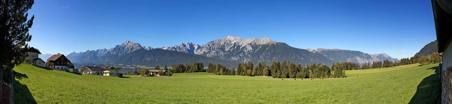
Laggers
Hiking
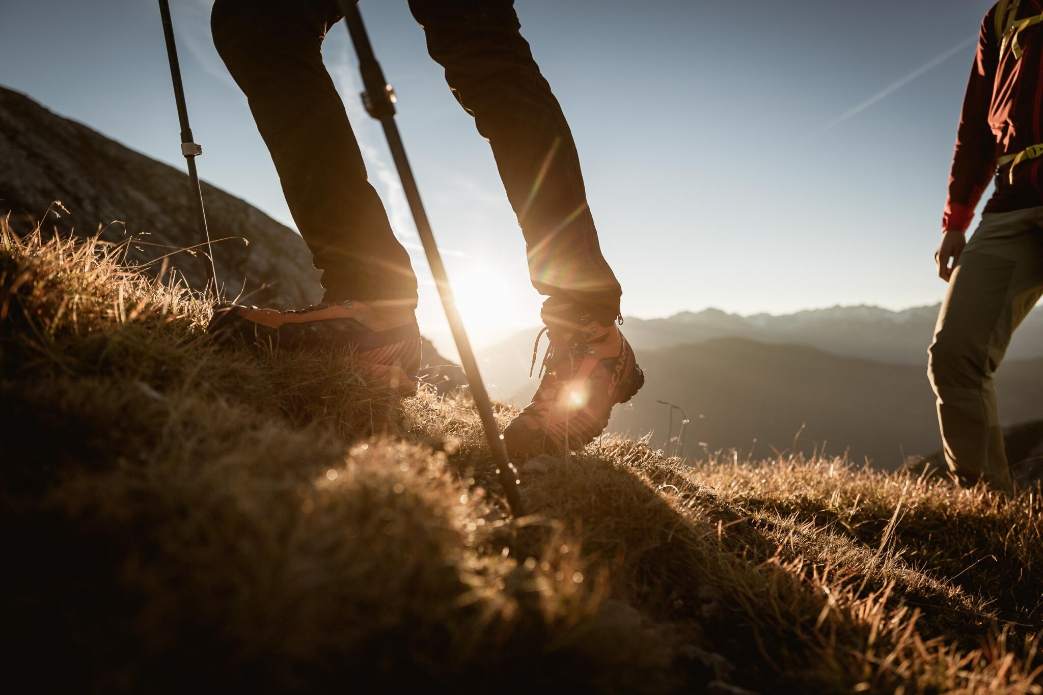
“From Hoch-Imst to Laggers: Steep climb, magnificent summit view”
From the rear parking lot of the Imst cable car, you head straight into the forest. The trail leads you steadily uphill, past a game feeding area. Soon you reach a track, which you cross, and continue following the forest path uphill. The trail continues with a variety of terrain – sometimes through dense forest, sometimes between low mountain pines. The narrow, at times quite steep, path leads you ever further uphill. The higher you climb, the more the forest thins out, and you enter the chamois' territory. With a bit of luck, you can observe these impressive animals in their natural habitat. From now on, you'll hike through high alpine scenery – accompanied by magnificent views of the Gurgltal Valley, the Lechtal Alps, and the Tschirgant. You'll soon see the summit cross of the Lagger (approx. 2,240 m), but be careful: appearances can be deceiving! It's still a good while uphill until you reach your destination. Once you reach the top, you'll be rewarded: a breathtaking view of the surrounding mountains awaits you. Perfect for a well-deserved break and impressive summit photos!
At a Glance | |
|---|---|
| Difficulty level: | medium difficulty |
| Elevation loss: | 1255 m |
| Walking time / ascent: | 4 h |
Information | |
|---|---|
| Walking time / descent: | 2 h |
| Starting point: | Hoch Imst |
| Finishing point: | Hoch Ismt |
Fitness & technique | |
|---|---|
| Fitness: | 4 |
| Technical: | 3 |
Accommodation in the region
Ferienwohnung
Lahnbachallee
- Place: Schwaz
Ferienwohnung
Zirbenbaum
- Place: Weerberg
Ferienwohnung
Guggenberger
- Place: Buch in Tirol
Ferienwohnung
Burgi
- Place: Weerberg